Freya Schmitz · 1 October 2026
Tracing Biodiversity Patterns Around Expanding Coastal Logistics Complexes
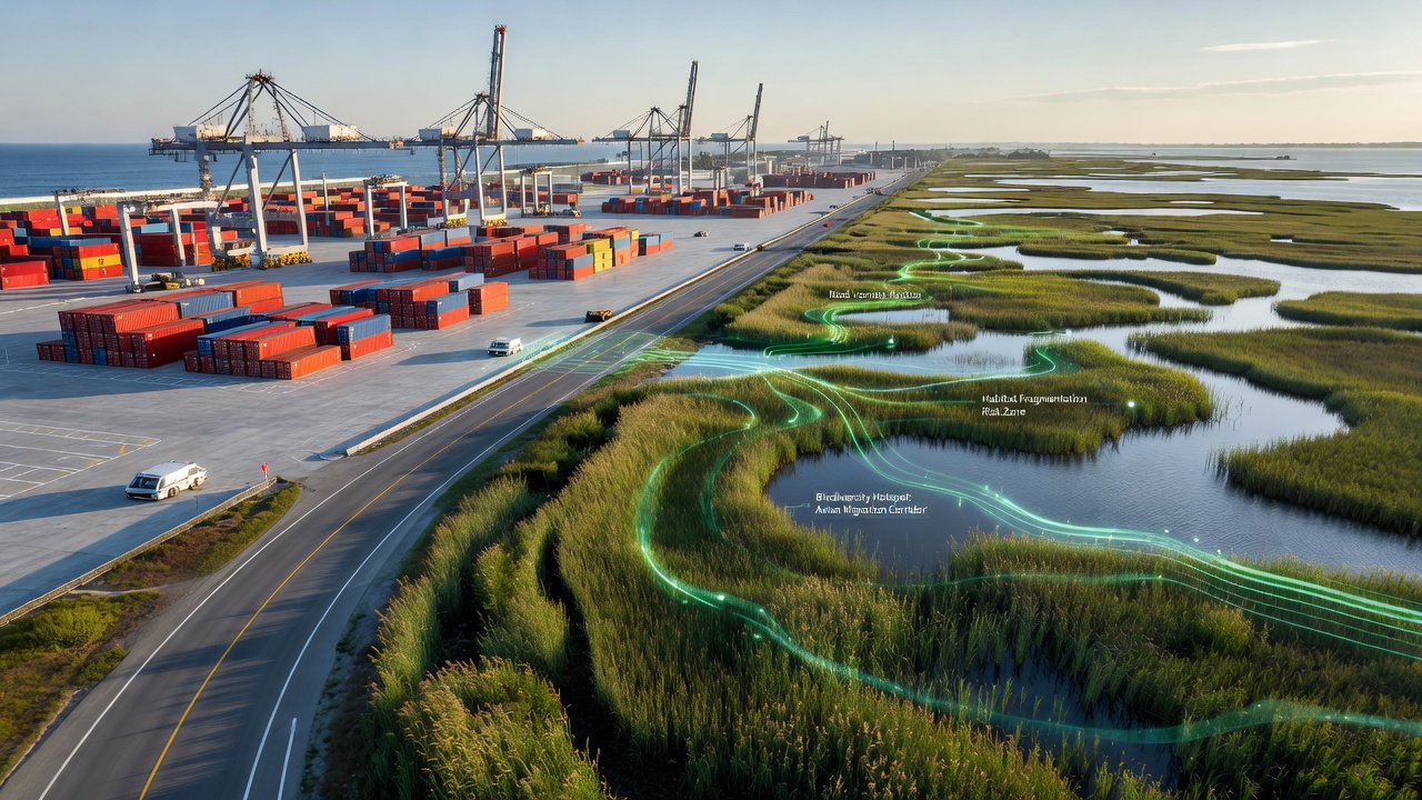
Coastal logistics complexes continue to grow as global trade volumes rise, and researchers track biodiversity shifts in surrounding ecosystems through systematic monitoring programs that combine satellite data, field sampling, and genetic analysis. These facilities often sit near estuaries, mangroves, and nearshore waters where multiple species interact, which creates opportunities to observe how infrastructure development alters habitat connectivity and species distribution over time.
Monitoring Techniques in Coastal Zones
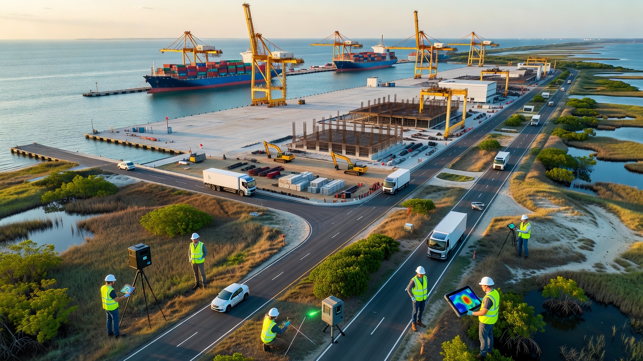
Scientists employ remote sensing platforms alongside underwater acoustic sensors to map changes in vegetation cover and marine mammal movements near expanding terminals, while environmental DNA surveys collect water samples that reveal the presence of fish and invertebrate communities without direct capture. Government agencies in Australia publish annual reports on seagrass bed extent around major ports, and similar programs operated by Canadian authorities document shifts in intertidal zones adjacent to logistics hubs in British Columbia. Data from these efforts show that construction phases frequently coincide with temporary reductions in species richness, followed by variable recovery rates depending on mitigation measures such as sediment barriers and artificial reef installations.
Observed Species Distribution Changes
Studies indicate that bird populations nesting in adjacent salt marshes experience altered foraging routes when new berths and access channels are dredged, and telemetry data collected from tagged sea turtles demonstrate avoidance of areas with elevated vessel traffic. In regions where port authorities have implemented seasonal construction windows, researchers note higher juvenile fish survival rates compared with sites lacking such restrictions. European monitoring networks report that benthic communities recover more quickly when dredged material is relocated to designated offshore sites rather than nearshore disposal zones, although long-term sediment composition changes persist in several documented cases.
Regional Data Comparisons
Analyses from Southeast Asian port expansions reveal mangrove loss rates that vary between 2 and 8 percent annually during peak development periods, whereas North American sites with stricter permitting requirements show lower average habitat conversion figures according to reports from the National Oceanic and Atmospheric Administration. Australian researchers have tracked changes in dugong grazing patterns near expanded terminals in Queensland, and their findings link increased turbidity from maintenance dredging to shifts in seagrass species composition. European Union-funded projects compile cross-border datasets that highlight how different regulatory frameworks influence biodiversity outcomes, with some member states achieving faster habitat restoration through mandatory offset programs.
Integration of New Technologies
Automated camera traps and drone surveys now supplement traditional transect methods, allowing continuous observation of terrestrial species that use coastal corridors near logistics infrastructure. Machine learning models process large volumes of acoustic recordings to identify cetacean calls and differentiate between vessel noise and natural soundscapes, and these tools have been deployed at multiple sites since 2024. In October 2026 several international research consortia plan to release updated biodiversity indices that incorporate real-time sensor feeds from port-adjacent monitoring stations, which should improve the ability to detect early warning signals of ecosystem stress.
Future Monitoring Priorities
Long-term datasets remain essential for distinguishing natural variability from development-related impacts, and collaborative platforms now allow researchers from different countries to share standardized protocols for sampling and data processing. Port operators increasingly participate in these networks by providing access to restricted zones for scientific teams, which facilitates more comprehensive surveys of subtidal habitats. Evidence from multiple jurisdictions demonstrates that combining regulatory oversight with ongoing scientific monitoring produces clearer pictures of biodiversity trajectories around expanding coastal facilities, supporting evidence-based adjustments to mitigation strategies as new information emerges.
Conclusion
Continued expansion of coastal logistics infrastructure will require sustained investment in biodiversity tracking methods that deliver reliable spatial and temporal data, and cross-regional comparisons help identify effective practices that can be adapted to local conditions. Researchers continue to refine techniques for measuring cumulative effects on marine and coastal species, while regulatory bodies integrate these findings into permitting processes that aim to balance trade growth with ecosystem preservation.