Willa Weber · 15 October 2026
Community-Led Monitoring Programs for Water Quality Around Growing Port Developments
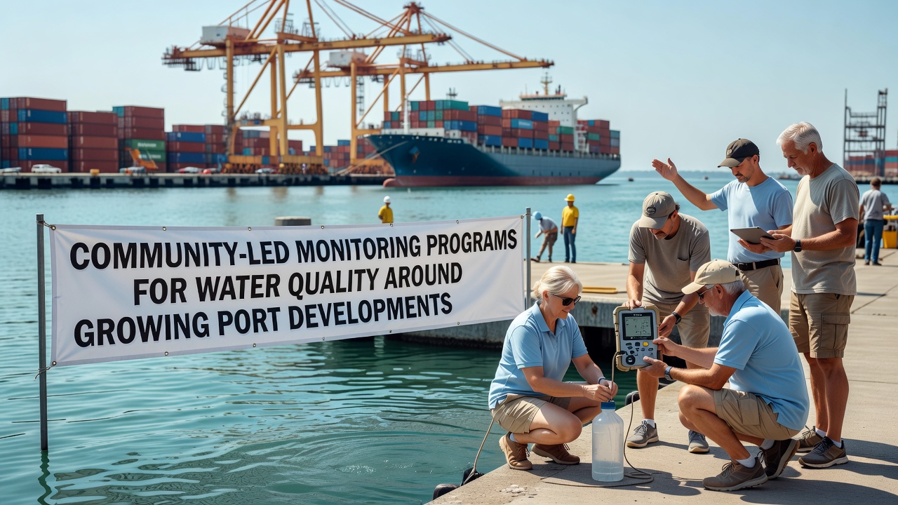
Community-led monitoring programs have taken root in coastal regions where port expansions continue to reshape local waterways, and these initiatives bring residents together with scientists to track changes in water quality over time. Ports handle increasing volumes of cargo which means more dredging, vessel traffic, and potential runoff, all of which can alter salinity, turbidity, and contaminant levels in surrounding bays and estuaries. Data collected by trained volunteers now feeds into regional databases that regulators consult when setting new operational guidelines.
Core Elements of These Programs
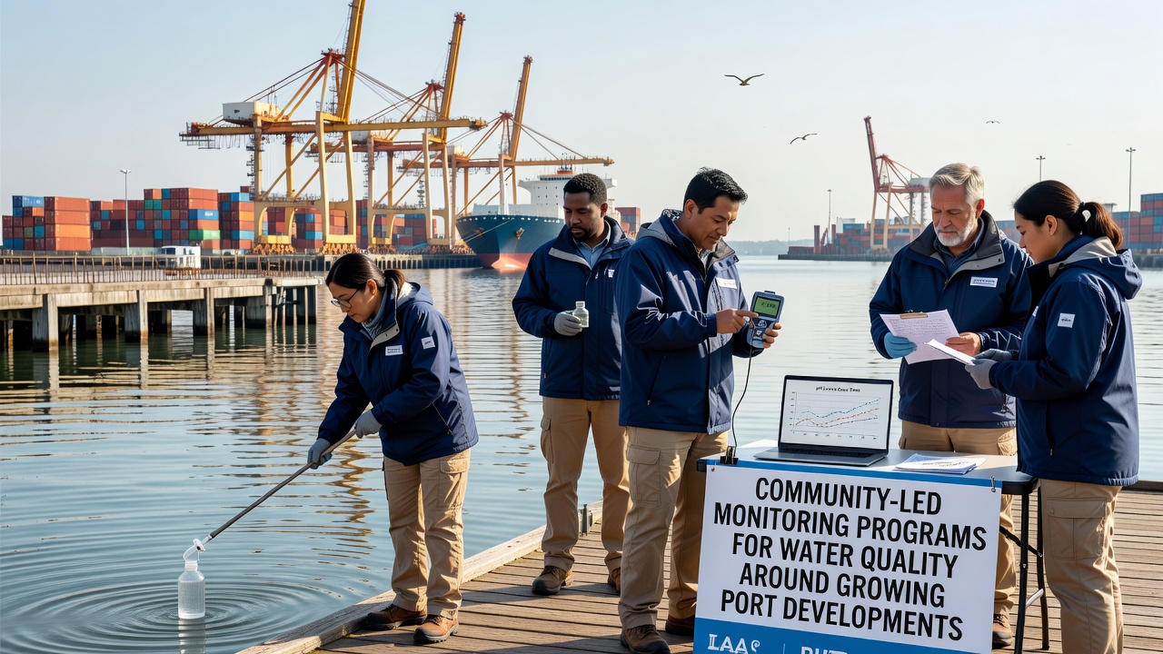
Participants receive training in standardized sampling protocols that cover dissolved oxygen measurements, pH readings, nutrient concentrations, and heavy metal detection through portable kits or laboratory submissions. Many groups operate on monthly schedules while others increase frequency during construction phases or storm events, and the resulting datasets reveal seasonal patterns that automated sensors alone sometimes miss. Coordination usually falls to local nonprofits or university extension offices that supply equipment and maintain quality control through duplicate samples and calibration checks.
Regional Examples and Recent Findings
In the Pacific Northwest, volunteer networks around the Port of Seattle have documented shifts in fecal coliform counts following terminal upgrades completed in 2024, and those records prompted adjustments to stormwater treatment requirements. Across the Atlantic, similar efforts near Rotterdam tracked polycyclic aromatic hydrocarbon spikes tied to increased bunker fuel handling, while Australian programs in the Port of Melbourne area have focused on microplastic distribution linked to container unloading activities. Canadian groups operating near Vancouver have combined citizen data with government buoy readings to map sediment plumes more accurately during expansion projects.
Observers note that these grassroots efforts often fill gaps left by agency budgets that limit the number of official sampling stations. One study from researchers at the University of British Columbia compared volunteer-collected turbidity values against professional instruments and found agreement rates above 85 percent when protocols were followed consistently. Such alignment strengthens the case for integrating community datasets into environmental impact assessments.
Technology and Data Integration
Modern programs blend traditional grab samples with low-cost sensors that transmit readings via cellular networks, allowing real-time alerts when thresholds are crossed. Open-source platforms now host the aggregated results so that port operators, fishers, and residents can view trends without requesting formal reports. Geographic information system overlays help identify hotspots near fuel storage areas or rail yards where runoff concentrates.
What's interesting is how October 2026 is shaping up to be a key milestone, with several international port authorities scheduled to release updated environmental management plans that incorporate five years of community-sourced data. These plans are expected to reference expanded monitoring zones and revised discharge limits based on volunteer findings from multiple continents.
Links to Regulatory Frameworks
Agencies in the United States reference community data when reviewing permits under the Clean Water Act, while European bodies apply similar inputs through the Marine Strategy Framework Directive. European Environment Agency reports have cited citizen monitoring as a cost-effective supplement to official networks. In Australia, the Department of Climate Change, Energy, the Environment and Water has begun accepting volunteer datasets for baseline studies around new terminal proposals.
Challenges and Adaptations
Funding remains inconsistent because grants often cover equipment but not long-term coordination, and turnover among volunteers can interrupt data continuity. Programs address these issues through partnerships with port authorities that sometimes provide in-kind support such as vessel access for offshore sampling. Training videos and mobile apps have reduced onboarding time, allowing new participants to contribute usable data within weeks rather than months.
Conclusion
Community-led monitoring around expanding ports continues to evolve as a practical bridge between local knowledge and formal regulatory processes. The combination of consistent protocols, accessible technology, and cross-regional data sharing has produced datasets that influence permitting decisions and operational adjustments. As port growth persists into 2026 and beyond, these programs supply an expanding record of water quality conditions that would otherwise remain sparsely documented.